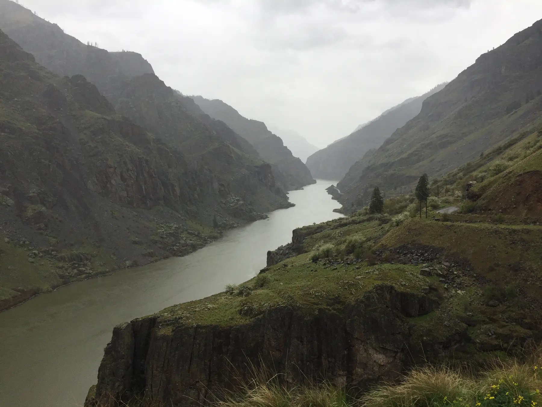
National recreation area
Hells Canyon National Recreation Area
Official visitor and permit information for Hells Canyon.
Visit the official Hells Canyon National Recreation Area resource Source: U.S. Forest ServiceBonneville County, Idaho · USGS 13032500
Latest observation
What this gauge represents: This gauge measures conditions on Snake River at its USGS monitoring location in Bonneville County; conditions elsewhere on the waterway may differ.
How much water moves past the gauge each second. Higher numbers mean more water is moving downstream.
The water-surface height at this gauge. It is useful for tracking rises, falls and flood thresholds, but it is not the river's total depth.
How much the latest reading has risen or fallen compared with roughly 24 hours earlier.
The typical streamflow for this date based on USGS historical statistics. A multiple such as 3× means current flow is about three times the historical median.
Get Water Data's plain-language summary of current flow, historical context and recent direction.
Official action and flood thresholds where available. These levels are specific to each gauge location.
Gauge height and flood stage are station-specific. A 12-foot reading at one gauge should not be directly compared with 12 feet at another.
Streamflow is currently 4,050 ft³/s, 22% below the historical median for this date. Flow has been relatively steady over the past 24 hours.
USGS-reported historical daily median for 09-27: 5,205 ft³/s · Based on USGS day-of-year statistics
How trends & context are calculated →Daily mean streamflow · Aug 28–Sep 25 · dates shown in UTC · 26 observations
Data gap: 3 calendar days are missing in this coverage. The line stops across missing observations.
| Date (UTC) | Daily mean |
|---|---|
| Aug 28, 2026, 12:00 AM | 9,500 CFS |
| Aug 29, 2026, 12:00 AM | 9,530 CFS |
| Aug 30, 2026, 12:00 AM | 9,540 CFS |
| Sep 3, 2026, 12:00 AM | 6,920 CFS |
| Sep 4, 2026, 12:00 AM | 6,930 CFS |
| Sep 5, 2026, 12:00 AM | 6,900 CFS |
| Sep 6, 2026, 12:00 AM | 6,940 CFS |
| Sep 7, 2026, 12:00 AM | 6,940 CFS |
| Sep 8, 2026, 12:00 AM | 6,950 CFS |
| Sep 9, 2026, 12:00 AM | 6,960 CFS |
| Sep 10, 2026, 12:00 AM | 6,930 CFS |
| Sep 11, 2026, 12:00 AM | 6,620 CFS |
| Sep 12, 2026, 12:00 AM | 6,100 CFS |
| Sep 13, 2026, 12:00 AM | 6,140 CFS |
| Sep 14, 2026, 12:00 AM | 5,730 CFS |
| Sep 15, 2026, 12:00 AM | 5,090 CFS |
| Sep 16, 2026, 12:00 AM | 4,610 CFS |
| Sep 17, 2026, 12:00 AM | 4,610 CFS |
| Sep 18, 2026, 12:00 AM | 4,630 CFS |
| Sep 19, 2026, 12:00 AM | 4,630 CFS |
| Sep 20, 2026, 12:00 AM | 4,630 CFS |
| Sep 21, 2026, 12:00 AM | 4,380 CFS |
| Sep 22, 2026, 12:00 AM | 4,080 CFS |
| Sep 23, 2026, 12:00 AM | 4,070 CFS |
| Sep 24, 2026, 12:00 AM | 4,060 CFS |
| Sep 25, 2026, 12:00 AM | 4,060 CFS |
Connect this monitoring-location reading with verified places and official visitor information. A gauge describes conditions only at its location; it is not itself a public access point.
Explore the Snake RiverOfficial visitor and permit information for Hells Canyon.
Visit the official Hells Canyon National Recreation Area resource Source: U.S. Forest ServiceBLM information for a named South Fork access site.
Visit the official Conant Boat Access resource Source: Bureau of Land ManagementFederal conservation information for Idaho waters.
Visit the official Snake River fish and wildlife office resource Source: U.S. Fish and Wildlife ServiceGet Water Data organizes provisional public monitoring data from the U.S. Geological Survey.
View USGS station →